
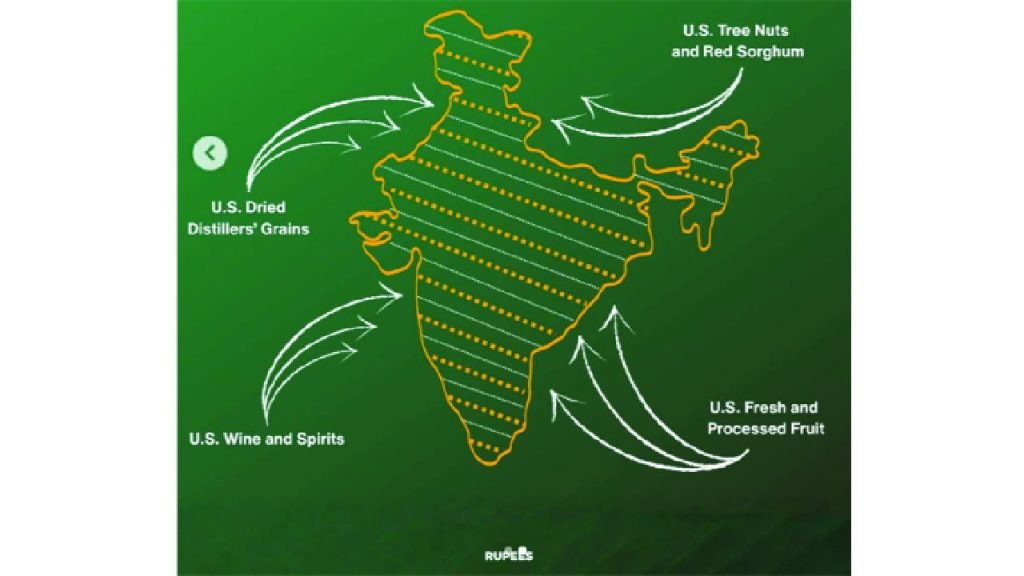
The United States Trade Representative’s (USTR) Office has released an official map of India that clearly depicts Jammu and Kashmir as part of Indian territory, including areas currently under Pakistan’s occupation.
The map was shared as part of a graphic accompanying the newly announced India–US trade framework, which outlines tariff reductions and market access commitments between the two countries.
In the map, Jammu and Kashmir is shown within India’s political boundaries, reflecting New Delhi’s long-held position that the region is an integral part of the country.
The graphic was issued by the USTR to illustrate India’s reduction of tariffs on select US exports under the joint trade framework. According to the details released, India will eliminate or reduce tariffs on several American products, including tree nuts, red sorghum, fresh and processed fruits, dried distillers’ grains, and wine and spirits.
Under the same framework, Washington has agreed to reduce tariffs on Indian goods to 18 per cent from the earlier 50 per cent and withdraw an additional 25 per cent duty imposed earlier.
The trade framework aims to significantly expand bilateral trade, with both sides targeting long-term growth in exports and market access.
The release of the map comes amid ongoing diplomatic engagement between the two countries and broader discussions on trade, strategic cooperation, and regional geopolitics.


