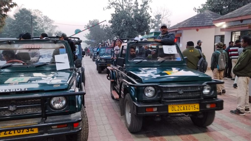
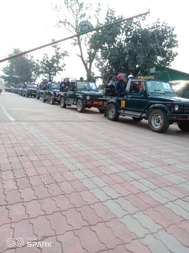
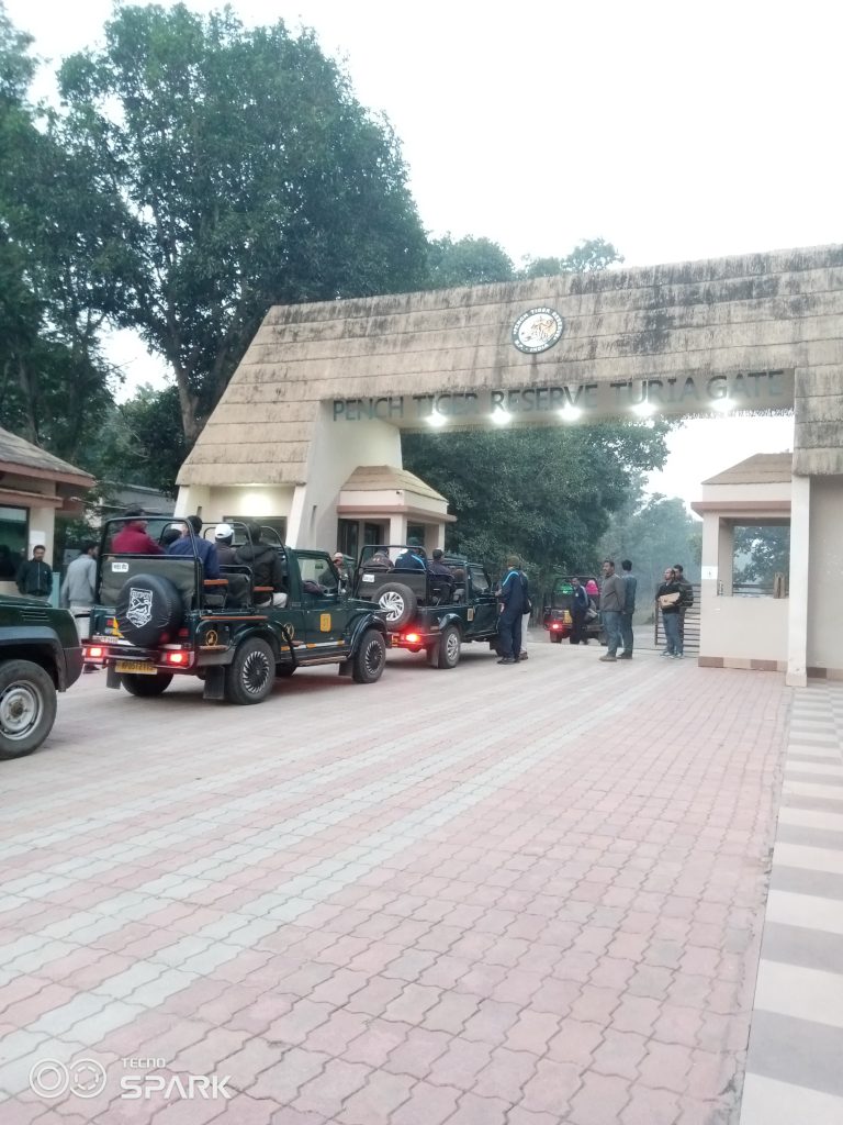
The Bagheera app is being used in Pench and Kanha in Madhya Pradesh to control tourists, track routes taken during safaris and check speed limits. Ranthambore in Rajasthan is also planning to launch an app. A report by Deepanwita Gita Niyogi

In many tiger reserves across India, the Global Positioning System (GPS) is used during safaris. In the central Indian state of Madhya Pradesh, which has the highest number of tigers with about 785, the app that monitors safaris is called the Bagheera.
Rajnish Singh, the deputy director of the Pench Tiger Reserve, informed that GPS was possibly started around 2016 in the Kanha Tiger Reserve. “Maybe, a year later, the Pench authorities also started it. It is a mobile-based app which helps in gathering the movement of safari vehicles which enter inside the reserves. Wherever guides travel inside Pench, the Bagheera app tracks the speed and the movement of the safari vehicles,” Singh said.

The forest officer explained that his dedicated team checks every mobile phone to find out the movement pattern of each safari vehicle. This is done for finding out if any vehicle halts at a particular place for a long duration. The use of the app is not exactly mentioned in the National Tiger Conservation Authority guidelines. But with growing tiger tourism, its importance cannot be denied.
“Both the Kanha and Pench tiger reserves are using the Bagheera app in a dedicated manner. Other tiger reserves may not have a high footfall. However, in Pench, there are 50 vehicles at one time and Kanha has about 100 vehicles. So, there is a need for strict regulatory action,” Singh added.
Using the GPS
According to Subham Baronia, a forest range officer at the Pench Tiger Reserve, the Bagheera app is used to control tourists, track the routes taken during safaris and check the speed limits. When a vehicle crosses the speed limit, it shows red. Generally, the set limit is 40 km per hour, but Pench has set 30 km per hour.
In the neighbouring state of Chhattisgarh, the jungle safari authorities in Naya Raipur are in the process of introducing a GPS-based app. Indian Forest Service officer Dhammshil Ganvir said it is in the pipeline. At present, the manual mode of tracking is on inside the Nandanvan Jungle Safari where tourists enjoy animal sighting from caged vehicles. “The personnel deployed at various places now inform the authorities about the caged vehicles different from that of open safari vehicles. The details are noted down on a daily basis by those in charge of eco-tourism. They are known as ecotourism prabharis,” the officer said.

In the Ranthambore Tiger Reserve in Rajasthan, which is a favourite with many tourists apart from Pench and Kanha, current field director Anoop KR said that the park authorities are planning to move on to an app-based GPS system which is under trial at present. “Technology has advanced. Our IT department has developed it indigenously. It can be launched anytime. With GPS, the possibilities are endless. Routes, time and speed can be monitored.”
Indian Forest Service officer P Kathirvel, who is now posted in Bharatpur, pointed out that GPS helps in tourism management to a great extent and limits the zones assigned for safari visits.
“It can also alert the management to monitor vehicles in inviolate areas to ensure that least disturbance is caused to animals. The entry information route is designated, and excess speed, allowed time and the overlapping of any area can be easily tracked. This helps officials to find out violations. It was there, and also implemented in Ranthambore, but discontinued,” Kathirvel added.
Irregularities and malpractices
A source who works nearby the Ranthambore Tiger Reserve, said on the condition of anonymity that there are issues in the introduction and the use of the GPS. “In Ranthambore, it is not used currently. During the tender process, huge cuts are taken. There is also the issue of GPS malfunctioning. Guides and drivers know how to cover up,” the source said.
The source further pointed out that the authorities in Ranthambore have been trying to bring in the use of the GPS for many years, but have not succeeded. “Probably, the reason is reluctance to track VIP safari movement. Such vehicles are allowed on longer as well as different routes. At times, safaris are not completed. But GPS is useful in areas with a high tourist inflow. It is being used well in central India.”
Last year, there were media reports about tickets being in short supply in Ranthambore and then sold in black. “Gypsy safari tickets are normally for Rs 2000 per individual but in the black it can go up to over Rs 6000,” the source added.
A local resident, who runs a non-profit remarked that GPS was never used in the tiger reserve properly ever, and even the management is not alert about it. “Some vehicles go close to tigers or use different tracks,” he said. His village lies close to Ranthambore.
A forest officer, who was once posted in this tiger reserve in Rajasthan, said anonymously that the introduction of the GPS lies in the domain of the field director. “Irregularities over tickets are there almost everywhere, but it is somehow more common in Ranthambore, especially when booked offline. GPS is not connected to the sale of tickets but it streamlines safari routes. I wanted to install the GPS but it was not done during my tenure.”


